2009
H3184 : Grenville Road
taken 15 years ago, 5 km E of Castlederg, Co Tyrone, Northern Ireland
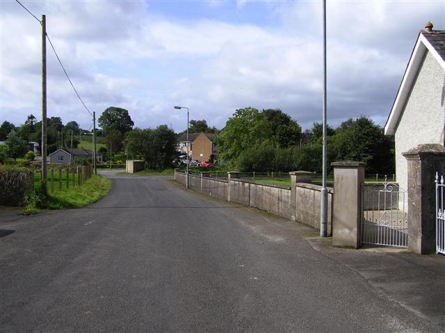
Grenville Road
Heading south-west to join the Drumclamph Road
Loading map... (JavaScript required)
- Grid Square
- H3184, 57 images (more nearby 🔍)
- Photographer
- Kenneth Allen (more nearby)
- Date Taken
- Monday, 7 September, 2009 (more nearby)
- Submitted
- Tuesday, 8 September, 2009
- Subject Location
-
Irish:
 H 315 844 [100m precision]
WGS84: 54:42.4154N 7:30.6880W - Camera Location
-
Irish: H 315 844
- View Direction
- Southwest (about 225 degrees)