2009
SP4616 : Arable field and hedgeline at Upper Campsfield Farm
taken 15 years ago, near to Shipton-on-Cherwell, Oxfordshire, England
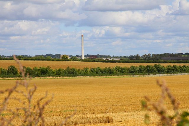
Arable field and hedgeline at Upper Campsfield Farm
 Map © Crown Copyright")
TIP: Click the map for more Large scale mapping
- Grid Square
- SP4616, 14 images (more nearby 🔍)
- Photographer
- Steve Daniels (more nearby)
- Date Taken
- Saturday, 22 August, 2009 (more nearby)
- Submitted
- Friday, 11 September, 2009
- Subject Location
-
OSGB36:
 SP 469 166 [100m precision]
WGS84: 51:50.7997N 1:19.1909W - Camera Location
-
OSGB36: SP 468 164
- View Direction
- North-northeast (about 22 degrees)