2009
NS6768 : Highpit Plantation
taken 15 years ago, near to Garnkirk, North Lanarkshire, Scotland
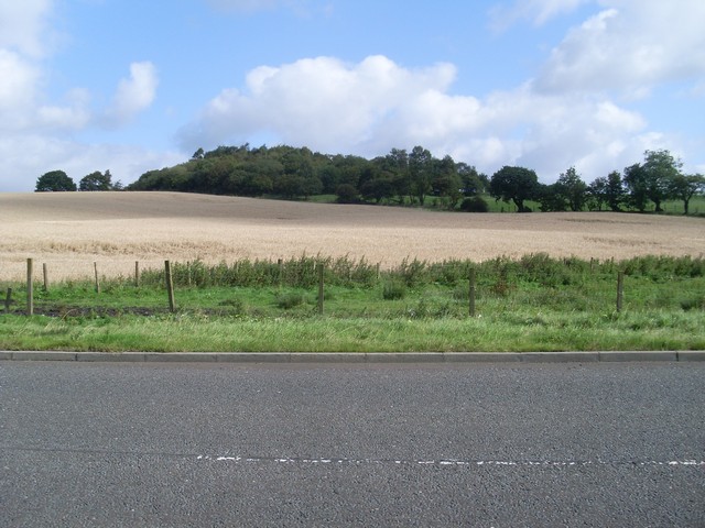
Highpit Plantation
On the hill to the west of Woodhead Farm.
 Map © Crown Copyright")
TIP: Click the map for more Large scale mapping
- Grid Square
- NS6768, 14 images (more nearby 🔍)
- Photographer
- Stephen Sweeney (more nearby)
- Date Taken
- Wednesday, 9 September, 2009 (more nearby)
- Submitted
- Wednesday, 16 September, 2009
- Subject Location
-
OSGB36:
 NS 672 688 [100m precision]
WGS84: 55:53.6439N 4:7.4442W - Camera Location
-
OSGB36: NS 671 686
- View Direction
- Northeast (about 45 degrees)