2006
SP4634 : South of Adderbury
taken 18 years ago, near to Adderbury, Oxfordshire, England
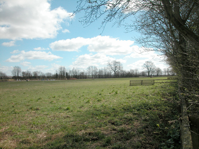
South of Adderbury
The village of Adderbury is surrounded largely by farmland and a few paddocks.
 Map © Crown Copyright")
TIP: Click the map for more Large scale mapping
- Grid Square
- SP4634, 9 images (more nearby 🔍)
- Photographer
- Dennis Turner (more nearby)
- Date Taken
- Saturday, 8 April, 2006 (more nearby)
- Submitted
- Tuesday, 11 April, 2006
- Subject Location
-
OSGB36:
 SP 468 347 [100m precision]
WGS84: 52:0.5260N 1:19.1748W - View Direction
- Southeast (about 135 degrees)