1978
TQ3060 : North end of Windermere Road, Coulsdon
taken 46 years ago, near to Coulsdon, Croydon, England
This is 1 of 7 images, with title North end of Windermere Road, Coulsdon in this square
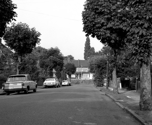
North end of Windermere Road, Coulsdon
T-junction with Stoats Nest Road.
 Map © Crown Copyright")
TIP: Click the map for more Large scale mapping
- Grid Square
- TQ3060, 183 images (more nearby 🔍)
- Photographer
- Dr Neil Clifton (more nearby)
- Date Taken
- Wednesday, 20 September, 1978 (more nearby)
- Submitted
- Wednesday, 7 October, 2009
- Subject Location
-
OSGB36:
 TQ 304 601 [100m precision]
WGS84: 51:19.5468N 0:7.7926W - Camera Location
-
OSGB36: TQ 303 601
- View Direction
- North-northeast (about 22 degrees)