2006
SE1486 : Barn
taken 18 years ago, near to East Witton, North Yorkshire, England
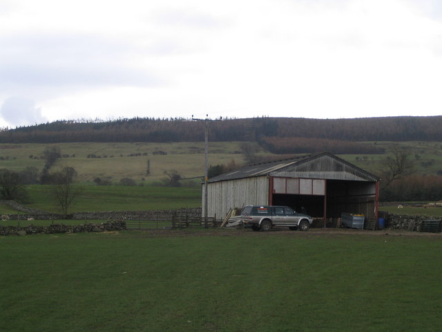
Barn
Footpath between East Witton and Cover bridge diverts around the barn
 Map © Crown Copyright")
TIP: Click the map for more Large scale mapping
- Grid Square
- SE1486, 100 images (more nearby 🔍)
- Photographer
- Angela Tuff (more nearby)
- Date Taken
- Wednesday, 12 April, 2006 (more nearby)
- Submitted
- Monday, 17 April, 2006
- Subject Location
-
OSGB36:
 SE 142 866 [100m precision]
WGS84: 54:16.4912N 1:47.0063W - Camera Location
-
OSGB36: SE 142 866
- View Direction
- South-southwest (about 202 degrees)