2006
SE1421 : Sunnydale Avenue, Rastrick
taken 18 years ago, near to Rastrick, Calderdale, England
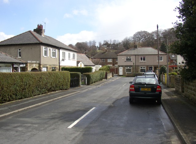
Sunnydale Avenue, Rastrick
This estate was built some time between 1934 and 1948 on a field named Croft.
 Map © Crown Copyright")
TIP: Click the map for more Large scale mapping
- Grid Square
- SE1421, 233 images (more nearby 🔍)
- Photographer
- Humphrey Bolton (more nearby)
- Date Taken
- Saturday, 8 April, 2006 (more nearby)
- Submitted
- Thursday, 27 April, 2006
- Subject Location
-
OSGB36:
 SE 141 217 [100m precision]
WGS84: 53:41.4936N 1:47.2772W - View Direction
- East-southeast (about 112 degrees)