2009
SD4376 : Channel of the River Kent flowing into Morecambe Bay
taken 14 years ago, 3 km from Grange-Over-Sands, Cumbria, England
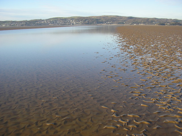
Channel of the River Kent flowing into Morecambe Bay
This channel foiled an attempt to walk into grid square SD4375 over the sand and mud about 5 or 600m out from the shore at Park Point
 Map © Crown Copyright")
TIP: Click the map for more Large scale mapping
- Grid Square
- SD4376, 38 images (more nearby 🔍)
- Photographer
- Karl and Ali (more nearby)
- Date Taken
- Friday, 11 December, 2009 (more nearby)
- Submitted
- Saturday, 12 December, 2009
- Subject Location
-
OSGB36:
 SD 433 762 [100m precision]
WGS84: 54:10.7168N 2:52.2120W - Camera Location
-
OSGB36: SD 435 761
- View Direction
- WEST (about 270 degrees)