2010
TM3667 : Rendham Road, Rotten End
taken 14 years ago, near to Peasenhall, Suffolk, England
This is 1 of 6 images, with title Rendham Road, Rotten End in this square
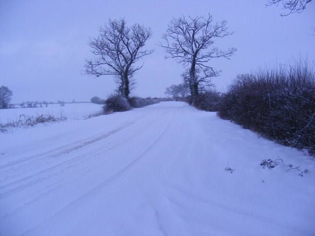
Rendham Road, Rotten End
Looking towards Kelsale near Brick Kiln Farm
Road No.C229
Road No.C229
 Map © Crown Copyright")
TIP: Click the map for more Large scale mapping
- Grid Square
- TM3667, 113 images (more nearby 🔍)
- Photographer
- Geographer (more nearby)
- Date Taken
- Friday, 8 January, 2010 (more nearby)
- Submitted
- Saturday, 9 January, 2010
- Subject Location
-
OSGB36:
 TM 3613 6721 [10m precision]
WGS84: 52:15.1414N 1:27.4849E - Camera Location
-
OSGB36: TM 3613 6721
- View Direction
- SOUTH (about 180 degrees)