2010
SH6446 : Path up Cnicht
taken 14 years ago, near to Croesor, Gwynedd, Wales
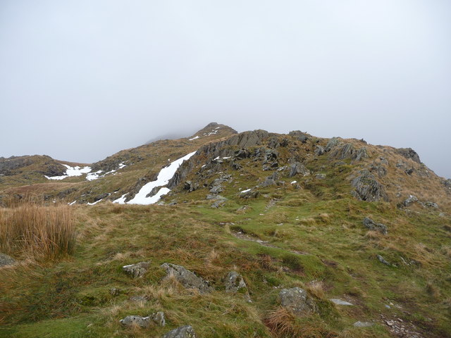
Path up Cnicht
Looking up the western ridge into cloud above.
 Map © Crown Copyright")
TIP: Click the map for more Large scale mapping
- Grid Square
- SH6446, 79 images (more nearby 🔍)
- Photographer
- Jeremy Bolwell (more nearby)
- Date Taken
- Sunday, 17 January, 2010 (more nearby)
- Submitted
- Monday, 18 January, 2010
- Subject Location
-
OSGB36:
 SH 641 462 [100m precision]
WGS84: 52:59.7568N 4:1.4998W - Camera Location
-
OSGB36: SH 641 461
- View Direction
- Northeast (about 45 degrees)