2010
NX7896 : Bennan burn near its start on Torbraehead
taken 14 years ago, near to Auchenbrack, Dumfries And Galloway, Scotland
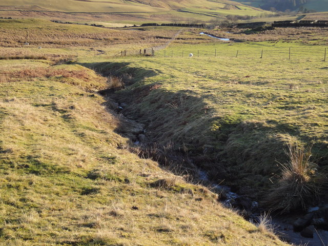
Bennan burn near its start on Torbraehead
The Bennan burn above Old Pinzarie, running towards the Y-shaped junction of fences (no longer dykes) above the sheepfanks.
 Map © Crown Copyright")
TIP: Click the map for more Large scale mapping
- Grid Square
- NX7896, 3 images (more nearby 🔍)
- Photographer
- Sue King-Smith (more nearby)
- Date Taken
- Tuesday, 2 February, 2010 (more nearby)
- Submitted
- Tuesday, 2 February, 2010
- Subject Location
-
OSGB36:
 NX 784 961 [100m precision]
WGS84: 55:14.6499N 3:54.7752W - Camera Location
-
OSGB36: NX 784 963
- View Direction
- SOUTH (about 180 degrees)