2010
TF2670 : Bain Valley Park
taken 14 years ago, near to Horncastle, Lincolnshire, England
Bain Valley Park
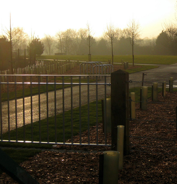
This new community park is due to open in Spring 2010. The District Council was awarded £850,000 by East Midlands Development Agency to transform this disused wasteland on the outskirts of Horncastle into parkland. The name was chosen by residents through a ballot.
The development includes a grassed open space for community events edged with a seating wall, landscaping, viewing platforms, footpaths, cycle ways and disabled car parking facilities.
The park will also provide a link between Hemingby Lane and the new Bell's Yard development off the Louth Road.
The development includes a grassed open space for community events edged with a seating wall, landscaping, viewing platforms, footpaths, cycle ways and disabled car parking facilities.
The park will also provide a link between Hemingby Lane and the new Bell's Yard development off the Louth Road.
 Map © Crown Copyright")
TIP: Click the map for more Large scale mapping
- Grid Square
- TF2670, 35 images (more nearby 🔍)
- Photographer
- Kate Nicol (more nearby)
- Date Taken
- Friday, 5 February, 2010 (more nearby)
- Submitted
- Saturday, 6 February, 2010
- Subject Location
-
OSGB36:
 TF 260 700 [100m precision]
WGS84: 53:12.7700N 0:6.8054W - Camera Location
-
OSGB36: TF 261 701
- View Direction
- West-southwest (about 247 degrees)