2010
SD7916 : River Irwell; Ramsbottom Bridge
taken 14 years ago, near to Ramsbottom, Bury, England
This is 1 of 21 images, with title starting with River Irwell in this square
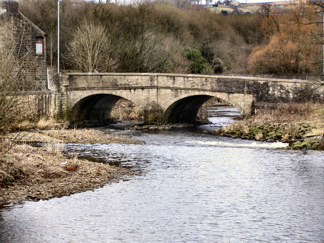
River Irwell; Ramsbottom Bridge
The River Irwell rises on the Rossendale hills north of Bacup and flows south for 39 miles before joining the River Mersey west of Manchester. It was a very important river in the development of industry, during the Industrial revolution, in Lancashire.
Wikipedia: Link
See other images of River Irwell
Wikipedia: Link
See other images of River Irwell
 Map © Crown Copyright")
TIP: Click the map for more Large scale mapping
- Grid Square
- SD7916, 688 images (more nearby 🔍)
- Photographer
- David Dixon (more nearby)
- Date Taken
- Saturday, 13 February, 2010 (more nearby)
- Submitted
- Sunday, 14 February, 2010
- Subject Location
-
OSGB36:
 SD 794 168 [100m precision]
WGS84: 53:38.8556N 2:18.7619W - Camera Location
-
OSGB36: SD 793 168
- View Direction
- East-southeast (about 112 degrees)