2010
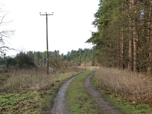
TL9785 : Forest track in West Harling
taken 14 years ago, near to Middle Harling, Norfolk, England
This is 1 of 2 images, with title Forest track in West Harling in this square
Forest track in West Harling
West Harling, a village in the Thet valley, was deserted in the first half of the 18th century. Originally part of a cluster of settlements which all had the name 'Herlinga' in 1086, three of these had become known as West Harling (with its church of All Saints'), Middle Harling (with St Andrew's church) and Harling Thorpe. Middle Harling became part of West Harling parish in 1543. With a new Lord of the Manor, Richard Gipps, the fate of the until then fairly prosperous villages changed: Gipps bought all the houses except for one small cottage and so had reduced the number of dwellings. Gipps' heirs closed the old road, and the foundations of the demolished church in Middle Harling were uprooted to build up a marshy ground. All Saints church today stands isolated > Link. The Hall built by Gipps was demolished in 1931 and conifer plantations cover much of his estate. What remains is a bust in the church > Link placed there by his great-nephew.
 Map © Crown Copyright")
TIP: Click the map for more Large scale mapping
- Grid Square
- TL9785, 39 images (more nearby 🔍)
- Photographer
- Evelyn Simak (more nearby)
- Date Taken
- Saturday, 13 February, 2010 (more nearby)
- Submitted
- Monday, 15 February, 2010
- Subject Location
-
OSGB36:
 TL 972 852 [100m precision]
WGS84: 52:25.7778N 0:54.0032E - Camera Location
-
OSGB36: TL 972 852
- View Direction
- Northwest (about 315 degrees)