2010
NT8843 : The River Till at Twizel
taken 14 years ago, 3 km from Upsettlington, Scottish Borders, Scotland
This is 1 of 2 images, with title The River Till at Twizel in this square
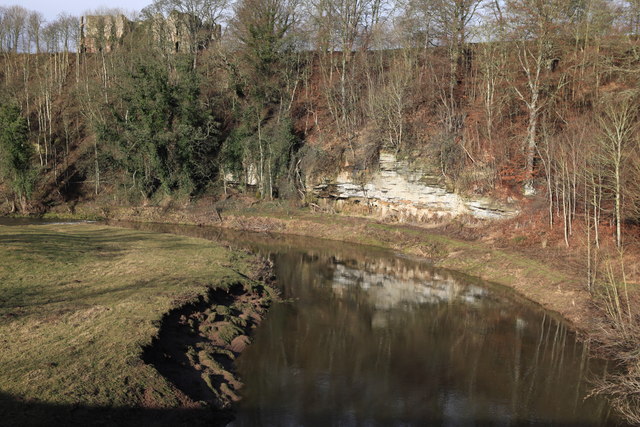
The River Till at Twizel
Looking downstream of the River Till. Twizel Castle sits high above the river and can just be seen.
 Map © Crown Copyright")
TIP: Click the map for more Large scale mapping
- Grid Square
- NT8843, 44 images (more nearby 🔍)
- Photographer
- Calum McRoberts (more nearby)
- Date Taken
- Friday, 12 February, 2010 (more nearby)
- Submitted
- Thursday, 18 February, 2010
- Subject Location
-
OSGB36:
 NT 884 433 [100m precision]
WGS84: 55:41.0041N 2:11.1437W - Camera Location
-
OSGB36: NT 884 433
- View Direction
- Northwest (about 315 degrees)