2010
SP1726 : Barns at Upper Swell
taken 14 years ago, near to Upper Swell, Gloucestershire, England
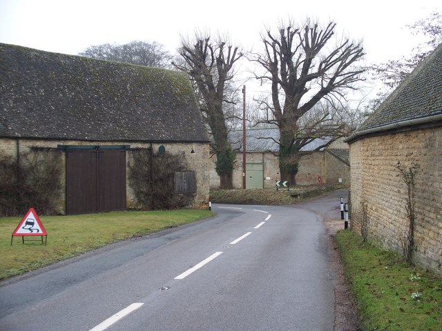
Barns at Upper Swell
As the B4077 traverses Upper Swell, it takes a sharp bend as it passes between these three barns.
 Map © Crown Copyright")
TIP: Click the map for more Large scale mapping
- Grid Square
- SP1726, 51 images (more nearby 🔍)
- Photographer
- Michael Dibb (more nearby)
- Date Taken
- Sunday, 7 February, 2010 (more nearby)
- Submitted
- Sunday, 21 February, 2010
- Subject Location
-
OSGB36:
 SP 1765 2679 [10m precision]
WGS84: 51:56.3603N 1:44.6798W - Camera Location
-
OSGB36: SP 1760 2681
- View Direction
- East-southeast (about 112 degrees)