2010
TM3376 : Linstead Road & Linstead Road Postbox
taken 14 years ago, near to Cookley, Suffolk, England
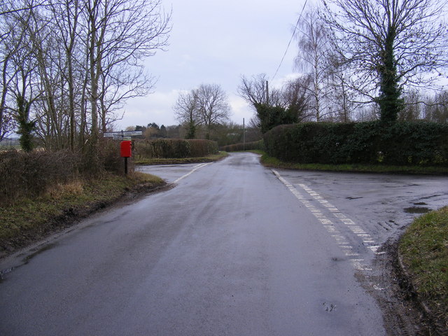
Linstead Road & Linstead Road Postbox
Looking towards Linstead Parva at the junction with Mary's Lane near Corner Farm
Postbox No.IP19 5512
Postbox No.IP19 5512
 Map © Crown Copyright")
TIP: Click the map for more Large scale mapping
- Grid Square
- TM3376, 47 images (more nearby 🔍)
- Photographer
- Geographer (more nearby)
- Date Taken
- Thursday, 25 February, 2010 (more nearby)
- Submitted
- Thursday, 25 February, 2010
- Subject Location
-
OSGB36:
 TM 33600 76174 [1m precision]
WGS84: 52:20.0328N 1:25.6378E - Camera Location
-
OSGB36: TM 33600 76174
- View Direction
- WEST (about 270 degrees)