2008
NS4673 : Route to Loch Humphrey
taken 16 years ago, near to Old Kilpatrick, West Dunbartonshire, Scotland
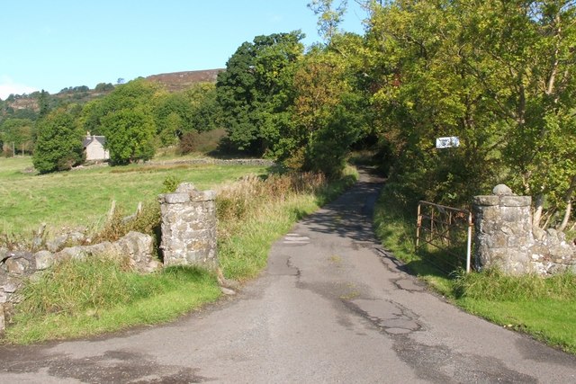
Route to Loch Humphrey
At this point, which is also shown in Link and Link the route to Loch Humphrey branches off from a road that leads westwards to Mount Pleasant (a farm). The building visible on the left is NS4673 : Hole Cottage.
 Map © Crown Copyright")
TIP: Click the map for more Large scale mapping
- Grid Square
- NS4673, 119 images (more nearby 🔍)
- Photographer
- Lairich Rig (more nearby)
- Date Taken
- Friday, 3 October, 2008 (more nearby)
- Submitted
- Saturday, 13 March, 2010
- Subject Location
-
OSGB36:
 NS 4691 7335 [10m precision]
WGS84: 55:55.7265N 4:27.1145W - Camera Location
-
OSGB36: NS 4692 7330
- View Direction
- North-northwest (about 337 degrees)