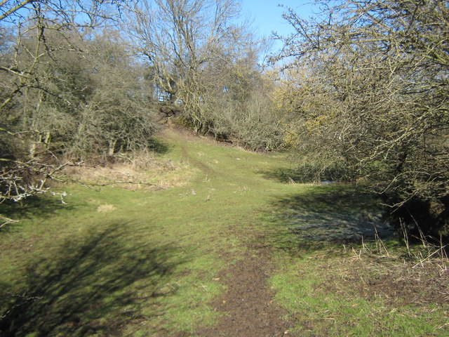
NZ4229 : Ruins of St Mary's Church, EmbletonI am not convinced this was a church dedicated to St Marys. I know
this says so but the
British History Online website has this to say:
EMBLETON, a chapelry, in the parish and union of Sedgefield, N. E. division of Stockton ward, S. division of the county of Durham, 8½ miles (N. by W.) from Stockton; containing 98 inhabitants, and comprising 3356 acres of inferior land, principally arable. This place, anciently called Elmdene from its deep hollow glen abounding with elms, gave name to a family that became resident here about the commencement of the 13th century. Though consisting now of only a few houses, it was formerly of considerable size: in a field south of the village are numerous tumuli, evidently resulting from the ruins of buildings; and the parish registers testify that the number of inhabitants about two centuries ago was much greater than at present. Here are two acres of glebe belonging to the rector of Sedgefield: the tithes have been commuted for £138. 13. The chapel, situated on the brink of the dene, appears to have been originally of larger dimensions than it now is.This site also refers to a St. Mary's church at another Embleton, in Cumbria.
And again the
GENUKI website quoting from a 1894 book refers to a chapel:
Embleton Township comprises an area of 3356 acres, and its ratable value is £1841. The Stockton and Castle Eden Branch of the North-Eastern Railway passes through this township, having a station at Wynyard, opened as a passenger station in 1880, and for mineral traffic in 1878.
The hamlet of Embleton is situated four miles east by south of Sedgefield, and contains a chapel-of-ease, in which the curates of the mother-church officiate on Sundays. It was anciently called Elmdene, a name supposed to be derived from an elm wood which formerly flourished in the neighbouring dene.


 NZ 423 298
[100m precision]


