2006
TL1010 : Dane End farm
taken 18 years ago, near to Redbourn, Hertfordshire, England
This is 1 of 3 images, with title Dane End farm in this square
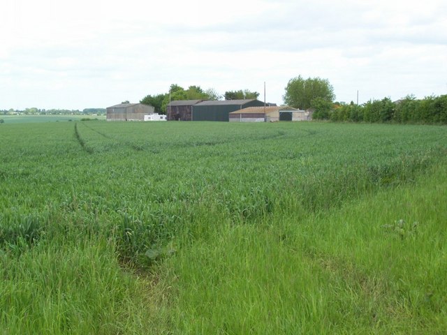
Dane End farm
Some of the buildings of Dane End farm, taken looking NE from the footpath junction at TL103103.
 Map © Crown Copyright")
TIP: Click the map for more Large scale mapping
- Grid Square
- TL1010, 9 images (more nearby 🔍)
- Photographer
- Rob Hinkley (more nearby)
- Date Taken
- Monday, 29 May, 2006 (more nearby)
- Submitted
- Monday, 29 May, 2006
- Subject Location
-
OSGB36:
 TL 105 104 [100m precision]
WGS84: 51:46.8818N 0:23.9755W - Camera Location
-
OSGB36: TL 103 103
- View Direction
- East-northeast (about 67 degrees)