2010
TQ5838 : Strange's Grove, Tunbridge Wells Common
taken 14 years ago, near to Royal Tunbridge Wells, Kent, England
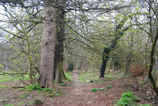
Strange's Grove, Tunbridge Wells Common
Planted c.1810-20 by Edward Hilder Strange, proprietor of the Royal Kentish Hotel, Link as an ornamental avenue leading down to his front entrance. It consisted originally of some forty sycamores and chestnuts, but many trees have been replaced in subsequent years.
Tunbridge Wells Common :: TQ5839
Tunbridge Wells Common is a 104 hectare open space close to the centre of town. Comprising mixed oak woodland and open areas. Originally a common where animals grazed, but trees have grown as grazing declined. Underlain by Tunbridge Wells Sandstone (Lower Cretaceous), which outcrops in several places across the common. Owned by the Borough Council but looked after by the Tunbridge Wells Common Conservators Link
.
 Map © Crown Copyright")
TIP: Click the map for more Large scale mapping
- Grid Square
- TQ5838, 2001 images (more nearby 🔍)
- Photographer
- N Chadwick (more nearby)
- Date Taken
- Friday, 9 April, 2010 (more nearby)
- Submitted
- Friday, 9 April, 2010
- Subject Location
-
OSGB36:
 TQ 581 388 [100m precision]
WGS84: 51:7.6316N 0:15.5127E - Camera Location
-
OSGB36: TQ 581 388
- View Direction
- Northwest (about 315 degrees)