2010

SU6648 : Longroden Lane

taken 14 years ago, near to Tunworth, Hampshire, England
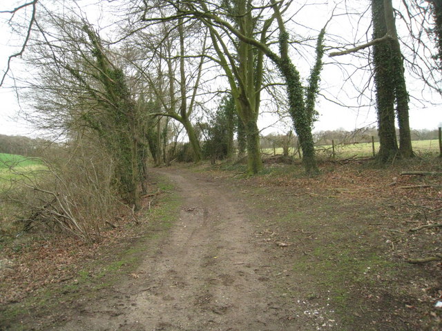
Longroden Lane
Longroden Lane

Creative Commons Licence [Some Rights Reserved]   © Copyright Mr Ignavy and licensed for reuse under this Creative Commons Licence.
Geographical Context: Roads, Road transport Primary Subject: Track Category: Rural track other tags: Rural Click a tag, to view other nearby images.
This photo is linked from: Automatic Clusters: · Longrodden Lane [2] ·
1:50,000 Modern Day Landranger(TM) Map © Crown Copyright
+
+
1:50,000 Modern Day Landranger(TM) Map © Crown Copyright
TIP: Click the map for more Large scale mapping
Grid Square
SU6648, 45 images   (more nearby 🔍)
Photographer
Mr Ignavy   (more nearby)
Date Taken
Sunday, 28 March, 2010   (more nearby)
Submitted
Saturday, 10 April, 2010
Subject Location
OSGB36: geotagged! SU 668 487 [100m precision]
WGS84: 51:14.0524N 1:2.6242W
Camera Location
OSGB36: geotagged! SU 668 487
View Direction
Northeast (about 45 degrees)
Clickable map
+
NW N NE
W Go E
SW S SE
Image classification(about): Geograph
This page has been viewed about 27 times
You are not logged in login | register