2010
TM3067 : A1120 Dennington Road and Rook's Bridge
taken 14 years ago, near to Badingham, Suffolk, England
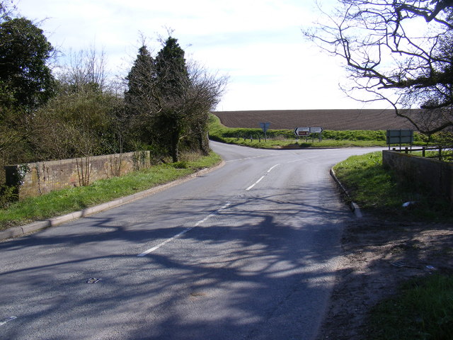
A1120 Dennington Road and Rook's Bridge
At the junction with the B1120 Framlingham Road
 Map © Crown Copyright")
TIP: Click the map for more Large scale mapping
- Grid Square
- TM3067, 97 images (more nearby 🔍)
- Photographer
- Geographer (more nearby)
- Date Taken
- Tuesday, 13 April, 2010 (more nearby)
- Submitted
- Tuesday, 13 April, 2010
- Subject Location
-
OSGB36:
 TM 30331 67405 [1m precision]
WGS84: 52:15.3938N 1:22.4049E - Camera Location
-
OSGB36: TM 30331 67405
- View Direction
- South-southwest (about 202 degrees)