2008
NT9020 : The Cheviot capped by cloud
taken 15 years ago, 4 km WSW of Langleeford, Northumberland, England
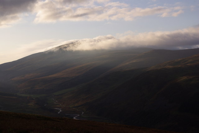
The Cheviot capped by cloud
The photo was taken from outside the grid square but I like it anyway.
 Map © Crown Copyright")
TIP: Click the map for more Large scale mapping
- Grid Square
- NT9020, 45 images (more nearby 🔍)
- Photographer
- Ed Jennings (more nearby)
- Date Taken
- Friday, 28 November, 2008 (more nearby)
- Submitted
- Monday, 19 April, 2010
- Subject Location
-
OSGB36:
 NT 909 204 [100m precision]
WGS84: 55:28.6885N 2:8.7220W - Camera Location
-
OSGB36: NT 915 208
- View Direction
- West-southwest (about 247 degrees)