2006
NZ2953 : Public playing fields
taken 18 years ago, near to Fatfield, Sunderland, England
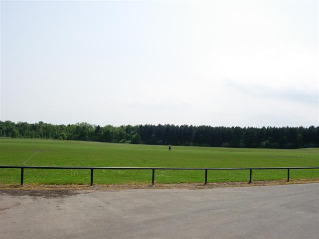
Public playing fields
The trees in the background belong to Lambton Estate.
 Map © Crown Copyright")
TIP: Click the map for more Large scale mapping
- Grid Square
- NZ2953, 8 images (more nearby 🔍)
- Photographer
- Brian Abbott (more nearby)
- Date Taken
- Wednesday, 7 June, 2006 (more nearby)
- Submitted
- Wednesday, 7 June, 2006
- Subject Location
-
OSGB36:
 NZ 292 534 [100m precision]
WGS84: 54:52.4711N 1:32.7890W - Camera Location
-
OSGB36: NZ 292 536
- View Direction
- SOUTH (about 180 degrees)