TQ5201 : The South Downs Way along the River Cuckmere
taken 14 years ago, near to Litlington, East Sussex, England
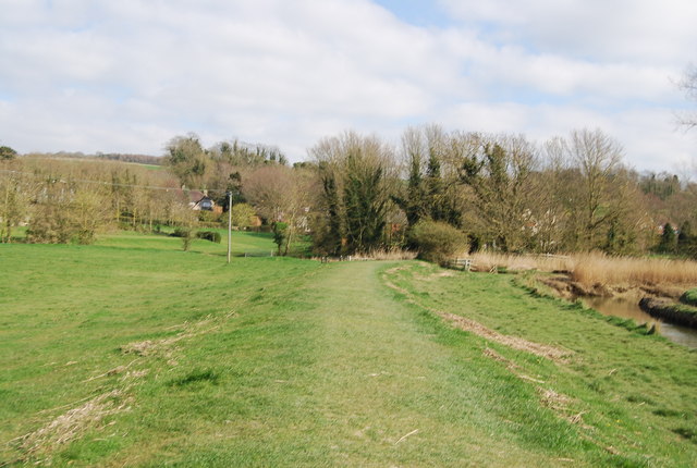
The River Cuckmere rises near Heathfield in East Sussex, on the southern slopes of the Weald. The name of the river probably comes from an Old English word meaning fast-flowing. After crossing the Low Weald area, the Cuckmere creates a gap through the South Downs ( Link ). It reaches the English Channel at Cuckmere Haven ( Link ) east of Seaford near the Seven Sisters ( Link ). The lower part of its course is marked by meanders, which are a well-known feature of the area. The meanders have been bypassed by The New Cut, a straight canal. The Cuckmere Valley Nature Reserve is located here as is the Seven Sisters Country Park ( Link ).
The South Downs Way is a long distance footpath in Southern England and is one of Britain's National Trails. It runs for around 100 miles from Winchester in Hampshire to Eastbourne in Sussex, with a small loop around Eastbourne. The South Downs Way passes through the South Downs, a beautiful area which is now a National Park. The path mainly follows old routes and droveways along the Chalk escarpment. The majority of the path is a bridleway and so can be used by horse-riders and cyclists too.
More information is available from Link
 Map © Crown Copyright")
- Grid Square
- TQ5201, 206 images (more nearby 🔍)
- Photographer
- N Chadwick (more nearby)
- Date Taken
- Wednesday, 14 April, 2010 (more nearby)
- Submitted
- Thursday, 29 April, 2010
- Subject Location
-
OSGB36:
 TQ 521 019 [100m precision]
WGS84: 50:47.8014N 0:9.4797E - Camera Location
-
OSGB36: TQ 521 019
- View Direction
- South-southeast (about 157 degrees)