2010
TQ4210 : Malling St (A26)
taken 14 years ago, near to South Malling, East Sussex, England
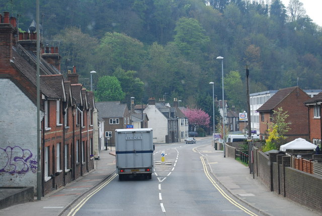
Malling St (A26)
 Map © Crown Copyright")
TIP: Click the map for more Large scale mapping
- Grid Square
- TQ4210, 386 images (more nearby 🔍)
- Photographer
- N Chadwick (more nearby)
- Date Taken
- Thursday, 29 April, 2010 (more nearby)
- Submitted
- Saturday, 1 May, 2010
- Subject Location
-
OSGB36:
 TQ 422 107 [100m precision]
WGS84: 50:52.7348N 0:1.2718E - Camera Location
-
OSGB36: TQ 422 108
- View Direction
- SOUTH (about 180 degrees)