2006
NS7096 : The River Forth
taken 18 years ago, near to Gargunnock, Stirling, Scotland
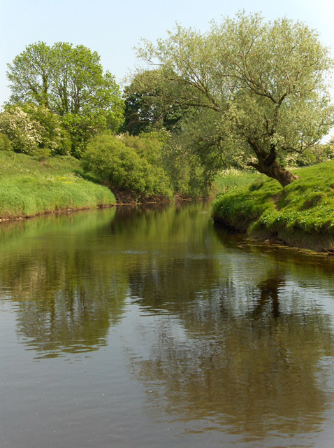
The River Forth
Below Arnieve Farm where the river swings southward.
 Map © Crown Copyright")
TIP: Click the map for more Large scale mapping
- Grid Square
- NS7096, 3 images (more nearby 🔍)
- Photographer
- Andrew Smith (more nearby)
- Date Taken
- Saturday, 10 June, 2006 (more nearby)
- Submitted
- Sunday, 11 June, 2006
- Subject Location
-
OSGB36:
 NS 706 967 [100m precision]
WGS84: 56:8.7233N 4:5.0587W - View Direction
- Southeast (about 135 degrees)