2010
TQ3877 : Greenwich Railway station
taken 14 years ago, near to Isle of Dogs, Tower Hamlets, England
This is 1 of 6 images, with title Greenwich Railway station in this square
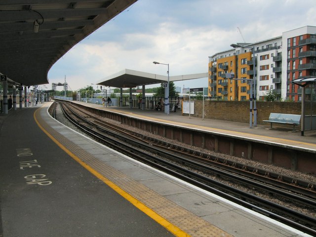
Greenwich Railway station
Greenwich station is about 400 m south-west of the town centre. It is an interchange between National Rail between central London and Dartford (north Kent), and the Docklands Light Railway (DLR) between Lewisham to the south and Docklands and the City of London. It is in Travelcard Zones 2 and 3.
It is the nearest National Rail station to the centre of Greenwich, but Cutty Sark DLR station is closer to town centre and its tourist attractions
The station opened in 1838, with the DLR arriving in 1999.
See other images of Greenwich Station
It is the nearest National Rail station to the centre of Greenwich, but Cutty Sark DLR station is closer to town centre and its tourist attractions
The station opened in 1838, with the DLR arriving in 1999.
See other images of Greenwich Station
 Map © Crown Copyright")
TIP: Click the map for more Large scale mapping
- Grid Square
- TQ3877, 2289 images (more nearby 🔍)
- Photographer
- Paul Gillett (more nearby)
- Date Taken
- Saturday, 5 June, 2010 (more nearby)
- Submitted
- Sunday, 6 June, 2010
- Subject Location
-
OSGB36:
 TQ 380 773 [100m precision]
WGS84: 51:28.6910N 0:0.8210W - Camera Location
-
OSGB36: TQ 380 773
- View Direction
- West-northwest (about 292 degrees)