2010
SE9887 : Car park entrance, Forge Valley
taken 14 years ago, near to East Ayton, North Yorkshire, England
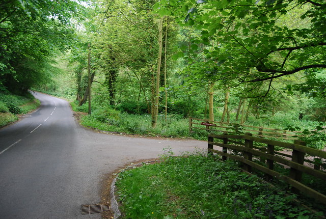
Car park entrance, Forge Valley
The Forge Valley is a classic example of a glacial overflow channel. During the last ice age a proglacial lake (Lake Hackness) formed north of the present valley. Eventually the lake water found a low point on the valley side and started to cut the present valley. After the ice age the River Derwent ( Link ) found the valley the easiest route to follow. The sides of the valley are studded with springs due to Jurassic limestone overlying the Oxford Clay. Most of the valley is a nature reserve. There are several paths in the woods, including a rather fine boardwalk along the river.
See other images of Forge Valley
See other images of Forge Valley
 Map © Crown Copyright")
TIP: Click the map for more Large scale mapping
- Grid Square
- SE9887, 68 images (more nearby 🔍)
- Photographer
- N Chadwick (more nearby)
- Date Taken
- Tuesday, 1 June, 2010 (more nearby)
- Submitted
- Thursday, 10 June, 2010
- Subject Location
-
OSGB36:
 SE 984 871 [100m precision]
WGS84: 54:16.2427N 0:29.3664W - Camera Location
-
OSGB36: SE 984 872
- View Direction
- Southeast (about 135 degrees)