2010
NS7681 : Tappetknowe ruins
taken 14 years ago, near to High Banton, North Lanarkshire, Scotland
This is 1 of 3 images, with title Tappetknowe ruins in this square
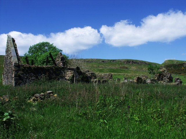
Tappetknowe ruins
Closer inspection wasn't possible due to the waist high jaggy nettles.
 Map © Crown Copyright")
TIP: Click the map for more Large scale mapping
- Grid Square
- NS7681, 18 images (more nearby 🔍)
- Photographer
- Robert Murray (more nearby)
- Date Taken
- Saturday, 19 June, 2010 (more nearby)
- Submitted
- Monday, 21 June, 2010
- Subject Location
-
OSGB36:
 NS 761 818 [100m precision]
WGS84: 56:0.8169N 3:59.2805W - Camera Location
-
OSGB36: NS 761 818
- View Direction
- NORTH (about 0 degrees)