2010
SX7970 : Shapely knoll
taken 14 years ago, near to Woodland, Devon, England
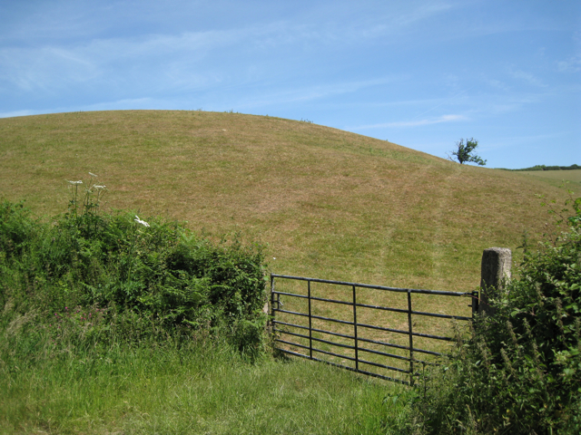
Shapely knoll
Knolls and bluffs along the stream valley northwest of East Down make it feel small-scale and intimate.
 Map © Crown Copyright")
TIP: Click the map for more Large scale mapping
- Grid Square
- SX7970, 25 images (more nearby 🔍)
- Photographer
- Robin Stott (more nearby)
- Date Taken
- Monday, 21 June, 2010 (more nearby)
- Submitted
- Saturday, 26 June, 2010
- Subject Location
-
OSGB36:
 SX 790 706 [100m precision]
WGS84: 50:31.3582N 3:42.4977W - Camera Location
-
OSGB36: SX 790 706
- View Direction
- Northeast (about 45 degrees)