2010
SP1726 : Bowl Farm
taken 14 years ago, near to Lower Swell, Gloucestershire, England
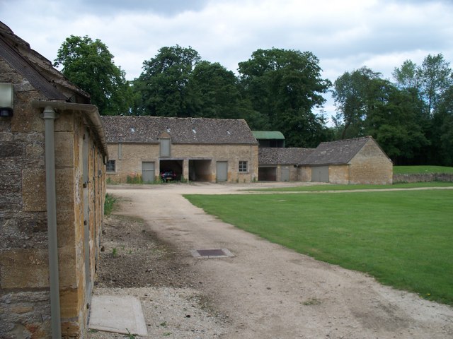
Bowl Farm
Bowl Farm was being farmed in 1547. It does not appear that any of the current buildings date back that far but the farm does have an air of being a part of the landscape.
 Map © Crown Copyright")
TIP: Click the map for more Large scale mapping
- Grid Square
- SP1726, 51 images (more nearby 🔍)
- Photographer
- Michael Dibb (more nearby)
- Date Taken
- Tuesday, 15 June, 2010 (more nearby)
- Submitted
- Monday, 5 July, 2010
- Subject Location
-
OSGB36:
 SP 1776 2605 [10m precision]
WGS84: 51:55.9609N 1:44.5861W - Camera Location
-
OSGB36: SP 1775 2601
- View Direction
- North-northeast (about 22 degrees)