2010
TG1001 : Wymondham Abbey - the Becket Panel
taken 14 years ago, near to Wymondham, Norfolk, England
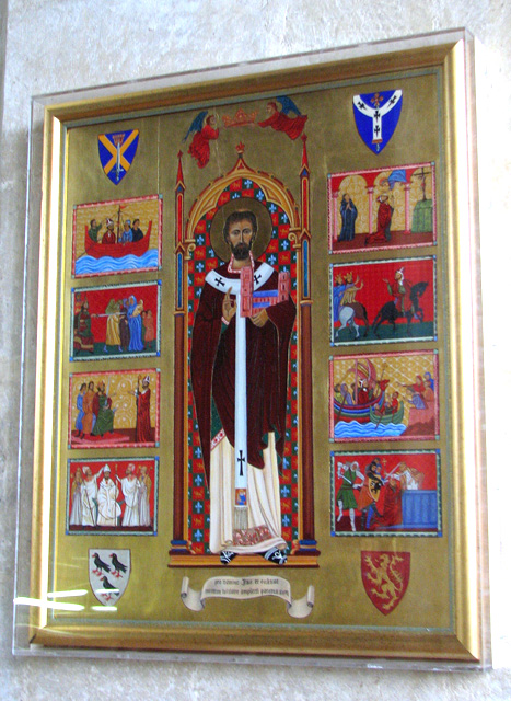
Wymondham Abbey - the Becket Panel
The Becket Panel marks the Millennium year 2000.
The church of St Mary & St Thomas of Canterbury - known as Wymondham Abbey > Link - once used to be the church of a Benedictine Priory that once stood here. The Priory became an Abbey in 1448 but was closed by Henry VIII in the 1530s; its remains can still be seen in the adjacent field. The ruined archway seen at right used to be one of the doorways into the church. The church was completed during the 12th century. It used to be a cruciform church, with a length of 70 metres and twin west towers. The church as we see it today was restored in 1901/03 and the reredos > Link - designed by church architect Sir Ninian Comper - was finally installed in 1934, after decades of delay. It had been begun as a memorial to the people of Wymondham who died in WW1. The sedilia > Link dates from the 1530s - it is made of terracotta and very similar in design and construction to the terracotta tombs > Link in St John's church in Oxborough. The baptismal font > Link is of a typical East Anglian style and dates from around 1440, its tall cover is modern. Only one of the windows contains stained glass > Link. The abbey houses a large collection of memorials > Link - Link - Link - dating from the 17th century to the present day.
The church of St Mary & St Thomas of Canterbury - known as Wymondham Abbey > Link - once used to be the church of a Benedictine Priory that once stood here. The Priory became an Abbey in 1448 but was closed by Henry VIII in the 1530s; its remains can still be seen in the adjacent field. The ruined archway seen at right used to be one of the doorways into the church. The church was completed during the 12th century. It used to be a cruciform church, with a length of 70 metres and twin west towers. The church as we see it today was restored in 1901/03 and the reredos > Link - designed by church architect Sir Ninian Comper - was finally installed in 1934, after decades of delay. It had been begun as a memorial to the people of Wymondham who died in WW1. The sedilia > Link dates from the 1530s - it is made of terracotta and very similar in design and construction to the terracotta tombs > Link in St John's church in Oxborough. The baptismal font > Link is of a typical East Anglian style and dates from around 1440, its tall cover is modern. Only one of the windows contains stained glass > Link. The abbey houses a large collection of memorials > Link - Link - Link - dating from the 17th century to the present day.
 Map © Crown Copyright")
TIP: Click the map for more Large scale mapping
- Grid Square
- TG1001, 342 images (more nearby 🔍)
- Photographer
- Evelyn Simak (more nearby)
- Date Taken
- Wednesday, 14 July, 2010 (more nearby)
- Submitted
- Wednesday, 14 July, 2010
- Subject Location
-
OSGB36:
 TG 106 014 [100m precision]
WGS84: 52:34.2139N 1:6.4441E - Camera Location
-
OSGB36: TG 106 014
- View Direction
- EAST (about 90 degrees)