2010
SH3076 : RAF Valley
taken 14 years ago, near to Llanfairyneubwll, Isle of Anglesey/Sir Ynys Mon, Wales
This is 1 of 4 images, with title RAF Valley in this square
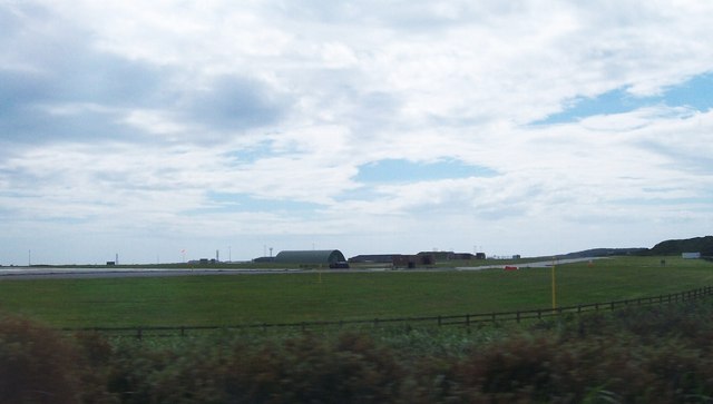
RAF Valley
 Map © Crown Copyright")
TIP: Click the map for more Large scale mapping
- Grid Square
- SH3076, 104 images (more nearby 🔍)
- Photographer
- Eric Jones (more nearby)
- Date Taken
- Saturday, 17 July, 2010 (more nearby)
- Submitted
- Sunday, 18 July, 2010
- Subject Location
-
OSGB36:
 SH 307 763 [100m precision]
WGS84: 53:15.4411N 4:32.3308W - Camera Location
-
OSGB36: SH 308 765
- View Direction
- Southwest (about 225 degrees)