2010
NZ6502 : The higher end of Westerdale
taken 14 years ago, 4 km SSW of Westerdale, North Yorkshire, England
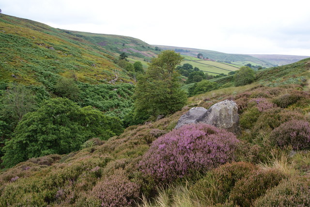
The higher end of Westerdale
The valley is at about its narrowest point here. The heather is just beginning to come out.
 Map © Crown Copyright")
TIP: Click the map for more Large scale mapping
- Grid Square
- NZ6502, 22 images (more nearby 🔍)
- Photographer
- Bill Boaden (more nearby)
- Date Taken
- Friday, 30 July, 2010 (more nearby)
- Submitted
- Monday, 2 August, 2010
- Subject Location
-
OSGB36:
 NZ 656 023 [100m precision]
WGS84: 54:24.7373N 0:59.4257W - Camera Location
-
OSGB36: NZ 656 023
- View Direction
- Northwest (about 315 degrees)