2010
TG1843 : West Runton Beach
taken 14 years ago, near to West Runton, Norfolk, England
This is 1 of 9 images, with title West Runton Beach in this square
West Runton Beach
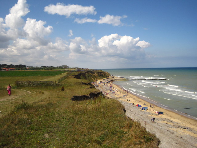
Looking back to West Runton beach from the cliff top path. Beeston Bump is in the far distance
 Map © Crown Copyright")
TIP: Click the map for more Large scale mapping
- Grid Square
- TG1843, 172 images (more nearby 🔍)
- Photographer
- Chris Holifield (more nearby)
- Date Taken
- Thursday, 5 August, 2010 (more nearby)
- Submitted
- Sunday, 8 August, 2010
- Subject Location
-
OSGB36:
 TG 186 432 [100m precision]
WGS84: 52:56.5089N 1:15.1309E - Camera Location
-
OSGB36: TG 188 431
- View Direction
- West-northwest (about 292 degrees)