2010
NZ5906 : Forestry Road at Bank Foot
taken 14 years ago, near to Ingleby Greenhow, North Yorkshire, England
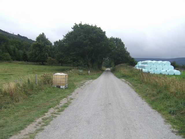
Forestry Road at Bank Foot
This was the former trackbed of the Rosedale Branch leading to the Ingleby Incline. The railway branch served the ironstone mines on Farndale Moor and Rosedale.
Rosedale Ironstone Railway
For the Wikipedia article on the Rosedale Branch of the North Yorkshire & Cleveland Railway see Link
 Map © Crown Copyright")
TIP: Click the map for more Large scale mapping
- Grid Square
- NZ5906, 52 images (more nearby 🔍)
- Photographer
- John M (more nearby)
- Date Taken
- Monday, 9 August, 2010 (more nearby)
- Submitted
- Sunday, 15 August, 2010
- Subject Location
-
OSGB36:
 NZ 592 060 [100m precision]
WGS84: 54:26.7735N 1:5.2604W - Camera Location
-
OSGB36: NZ 592 060
- View Direction
- South-southeast (about 157 degrees)