2010
TQ0242 : Small bridge on the Downs Link
taken 14 years ago, near to Shamley Green, Surrey, England
This is 1 of 2 images, with title Small bridge on the Downs Link in this square
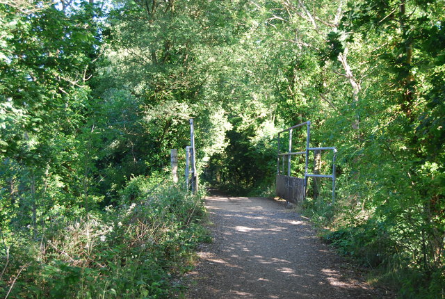
Small bridge on the Downs Link
The Downs Link is a 37-mile (59 km) footpath and bridleway linking the North Downs Way Link at St. Martha's Hill in Surrey with the South Downs Way Link near Steyning in West Sussex and on via the Coastal Link to Shoreham-by-Sea. Most of the route follows two dismantled railway lines, both closed by the Beeching cuts in the 1960s. The Shoreham-On-Sea to Christs Hospital line and the Christs Hospital to Shalford Junction line. The link opened in 1984.
Cycle Route 223 follows the Downs link from Guildford to Shoreham.
The logo for the walk is the viaduct across the River Arun TQ0932 : Double Viaduct over the River Arun.
A full history of the Cranleigh line (Christs Hospital to Shalford Junction) can be read at Link
See other images of Downs Link
Cycle Route 223 follows the Downs link from Guildford to Shoreham.
The logo for the walk is the viaduct across the River Arun TQ0932 : Double Viaduct over the River Arun.
A full history of the Cranleigh line (Christs Hospital to Shalford Junction) can be read at Link
See other images of Downs Link
 Map © Crown Copyright")
TIP: Click the map for more Large scale mapping
- Grid Square
- TQ0242, 73 images (more nearby 🔍)
- Photographer
- N Chadwick (more nearby)
- Date Taken
- Sunday, 4 July, 2010 (more nearby)
- Submitted
- Monday, 6 September, 2010
- Subject Location
-
OSGB36:
 TQ 029 421 [100m precision]
WGS84: 51:10.1338N 0:31.7755W - Camera Location
-
OSGB36: TQ 029 420
- View Direction
- West-northwest (about 292 degrees)