2006
SK7800 : A47 East Norton bypass
taken 18 years ago, near to East Norton, Leicestershire, England
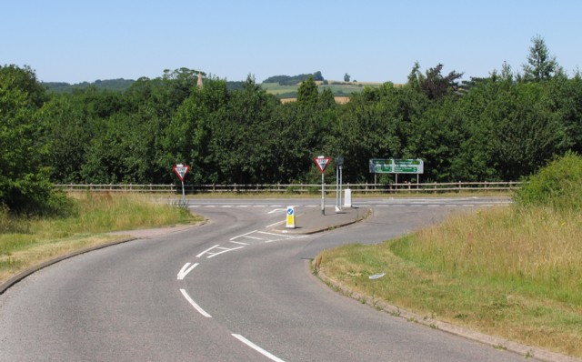
A47 East Norton bypass
The road from Hallaton joins the A47 at East Norton.
 Map © Crown Copyright")
TIP: Click the map for more Large scale mapping
- Grid Square
- SK7800, 56 images (more nearby 🔍)
- Photographer
- Andrew Tatlow (more nearby)
- Date Taken
- Tuesday, 18 July, 2006 (more nearby)
- Submitted
- Thursday, 20 July, 2006
- Subject Location
-
OSGB36:
 SK 783 002 [100m precision]
WGS84: 52:35.6701N 0:50.7042W - Camera Location
-
OSGB36: SK 783 001
- View Direction
- North-northeast (about 22 degrees)