2006
NB4234 : The Cearns
taken 18 years ago, near to Lacasdail, Isle of Lewis And Harris, Na h-Eileanan an Iar, Scotland
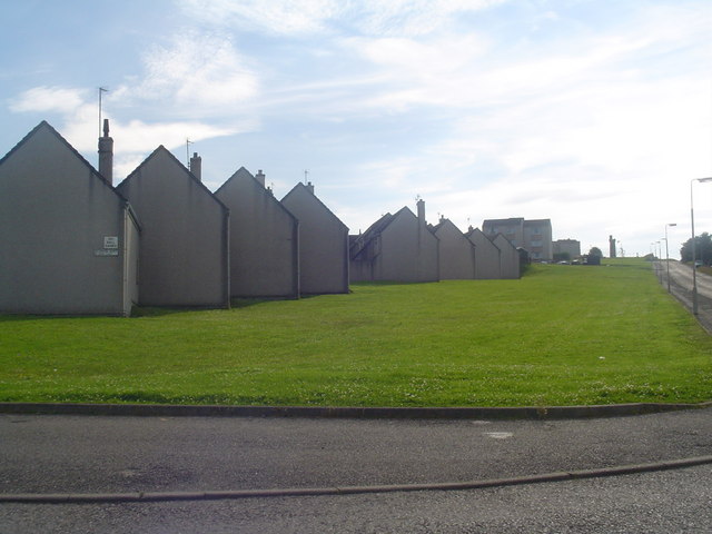
The Cearns
The Western Isles' largest (and most ugly) housing scheme. The Cearns (courts in English) is a collection of courts named after Scottish islands.
 Map © Crown Copyright")
TIP: Click the map for more Large scale mapping
- Grid Square
- NB4234, 17 images (more nearby 🔍)
- Photographer
- Donald Lawson (more nearby)
- Date Taken
- Friday, 21 July, 2006 (more nearby)
- Submitted
- Friday, 21 July, 2006
- Subject Location
-
OSGB36:
 NB 423 344 [100m precision]
WGS84: 58:13.3634N 6:23.4286W - Camera Location
-
OSGB36: NB 425 345
- View Direction
- Southwest (about 225 degrees)