2010
SJ9268 : Dirt road at Rough Hey Quarry
taken 14 years ago, near to Oakgrove, Cheshire East, England
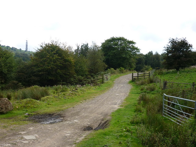
Dirt road at Rough Hey Quarry
Sutton Common communications tower can be seen on the horizon at left of picture.
 Map © Crown Copyright")
TIP: Click the map for more Large scale mapping
- Grid Square
- SJ9268, 11 images (more nearby 🔍)
- Photographer
- Gordon Elliott (more nearby)
- Date Taken
- Sunday, 5 September, 2010 (more nearby)
- Submitted
- Thursday, 16 September, 2010
- Subject Location
-
OSGB36:
 SJ 926 685 [100m precision]
WGS84: 53:12.8320N 2:6.6822W - Camera Location
-
OSGB36: SJ 926 686
- View Direction
- South-southeast (about 157 degrees)