2010
ND0539 : Stalker's path up the NE ridge of Ben Alisky
taken 14 years ago, near to Cnoc Allt a' Chait [hill or Mountain], Highland, Great Britain
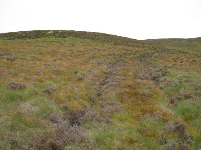
Stalker's path up the NE ridge of Ben Alisky
Looking up the stalker's path on the NE ridge of Ben Alisky
 Map © Crown Copyright")
TIP: Click the map for more Large scale mapping
- Grid Square
- ND0539, 2 images (more nearby 🔍)
- Photographer
- Paul Simonite (more nearby)
- Date Taken
- Sunday, 19 September, 2010 (more nearby)
- Submitted
- Sunday, 19 September, 2010
- Subject Location
-
OSGB36:
 ND 051 391 [100m precision]
WGS84: 58:19.8297N 3:37.3120W - Camera Location
-
OSGB36: ND 051 391
- View Direction
- SOUTH (about 180 degrees)