2010
HU4723 : Perie Bard
taken 14 years ago, 4 km E of Sandwick, Mainland, Shetland Islands, Scotland
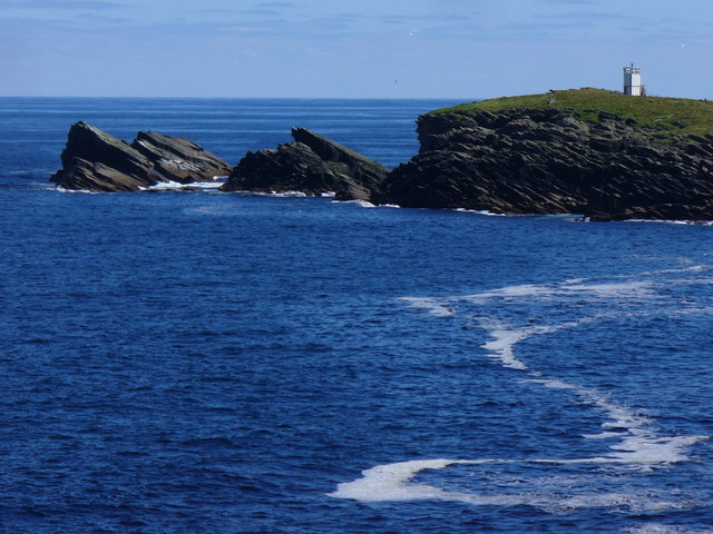
Perie Bard
Sloping rock strata give the rocks their distinctive shape. The light on Perie Bard is visible.
Link
Link
 Map © Crown Copyright")
TIP: Click the map for more Large scale mapping
- Grid Square
- HU4723, 13 images (more nearby 🔍)
- Photographer
- Colin Smith (more nearby)
- Date Taken
- Friday, 23 July, 2010 (more nearby)
- Submitted
- Thursday, 23 September, 2010
- Subject Location
-
OSGB36:
 HU 470 239 [100m precision]
WGS84: 59:59.8361N 1:9.5009W - Camera Location
-
OSGB36: HU 464 240
- View Direction
- East-southeast (about 112 degrees)