2010
NZ5812 : Path leading to Roseberry Topping from the east
taken 14 years ago, near to Newton Under Roseberry, Redcar And Cleveland, England
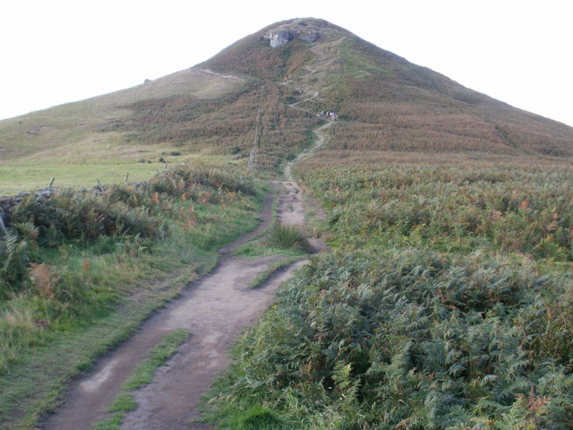
Path leading to Roseberry Topping from the east
 Map © Crown Copyright")
TIP: Click the map for more Large scale mapping
- Grid Square
- NZ5812, 110 images (more nearby 🔍)
- Photographer
- Peter S (more nearby)
- Date Taken
- Saturday, 18 September, 2010 (more nearby)
- Submitted
- Wednesday, 29 September, 2010
- Subject Location
-
OSGB36:
 NZ 580 126 [100m precision]
WGS84: 54:30.3565N 1:6.3204W - Camera Location
-
OSGB36: NZ 584 128
- View Direction
- West-southwest (about 247 degrees)