2010
NS2973 : Remains of a field dyke
taken 14 years ago, 3 km from Greenock, Inverclyde, Scotland
This is 1 of 2 images, with title Remains of a field dyke in this square
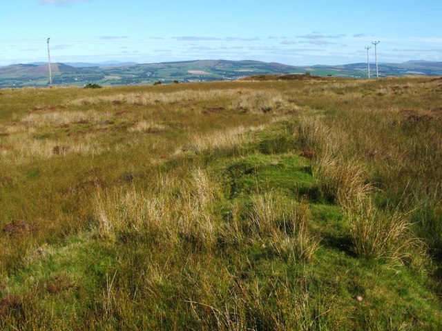
Remains of a field dyke
The field system was associated with Loudenward Farm: NS2874 : The ruins of Loudenward Farm. See NS2974 : Remains of a field dyke for the main discussion, and for the evidence from early maps.
The low ridge shown here is the remains of another of the field boundaries associated with the farmstead.
Behind the photographer's position, a dry-stone wall, which is itself of considerable age, but which is more recent than the old field system, cuts through the course of the ridge; for the continuation of the ridge on the far side of the wall, see NS2973 : Remains of a field dyke.
Loudenward field system :: NS2974
The remains of a large field system are visible here, extending eastwards from the ruined farmstead of Loudenward for a distance of about a kilometre. Traces of many field dykes can be seen, enclosing areas where cultivation traces are visible. The farm was originally called "Loudoun Ward". See Link
for an annotated satellite view, where the locations of the photographs are indicated by green marker pins.
 Map © Crown Copyright")
TIP: Click the map for more Large scale mapping
- Grid Square
- NS2973, 22 images (more nearby 🔍)
- Photographer
- Lairich Rig (more nearby)
- Date Taken
- Saturday, 25 September, 2010 (more nearby)
- Submitted
- Thursday, 30 September, 2010
- Subject Location
-
OSGB36:
 NS 2941 7393 [10m precision]
WGS84: 55:55.6854N 4:43.9222W - Camera Location
-
OSGB36: NS 2937 7390
- View Direction
- Northeast (about 45 degrees)