2010
TR0779 : Red Sand Towers
taken 14 years ago, 9 km NNE of Warden, Kent, England
This is 1 of 2 images, with title Red Sand Towers in this square
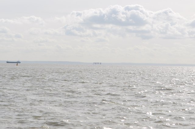
Red Sand Towers
Red Sand Towers, 10 miles East of Southend Pier, in the middle of the Thames Estuary, were erected in 1943 to defend London from German bombing raids and to help fight off a sea-borne invasion from occupied France. Another similar Fortress "Shivering Sand Towers" exists 4 miles further out.
Seen from near Maplin sands.
TR0779 : Red Sands Maunsell Sea Fort
Seen from near Maplin sands.
TR0779 : Red Sands Maunsell Sea Fort
 Map © Crown Copyright")
TIP: Click the map for more Large scale mapping
- Grid Square
- TR0779, 48 images (more nearby 🔍)
- Photographer
- Ashley Dace (more nearby)
- Date Taken
- Thursday, 30 September, 2010 (more nearby)
- Submitted
- Friday, 1 October, 2010
- Subject Location
-
OSGB36:
 TR 072 794 [100m precision]
WGS84: 51:28.5346N 0:58.9967E - Camera Location
-
OSGB36: TR 049 860
- View Direction
- South-southeast (about 157 degrees)