2010
SE4797 : High Lane near Solomon's Temple
taken 14 years ago, near to Osmotherley, North Yorkshire, England
This is 1 of 5 images, with title starting with High Lane in this square
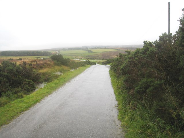
High Lane near Solomon's Temple
This photograph shows a view of a section of High Lane as it approaches its junction with the minor road that runs between Osmotherley (to the right) and Hawnby (to the left). The picture was taken looking in a south- south-easterly direction towards Chequers (see here: SE4797 : The Chequers Tea Rooms). The red roof of Chequers and smoke from its chimney can just be seen in the left-hand side of the image.
 Map © Crown Copyright")
TIP: Click the map for more Large scale mapping
- Grid Square
- SE4797, 53 images (more nearby 🔍)
- Photographer
- Philip Barker (more nearby)
- Date Taken
- Sunday, 3 October, 2010 (more nearby)
- Submitted
- Monday, 4 October, 2010
- Subject Location
-
OSGB36:
 SE 473 972 [100m precision]
WGS84: 54:22.1141N 1:16.3351W - Camera Location
-
OSGB36: SE 473 973
- View Direction
- South-southeast (about 157 degrees)