2010
SN2216 : River Taf
taken 14 years ago, 3 km from Trevaughan, Carmarthenshire/Sir Gaerfyrddin, Wales
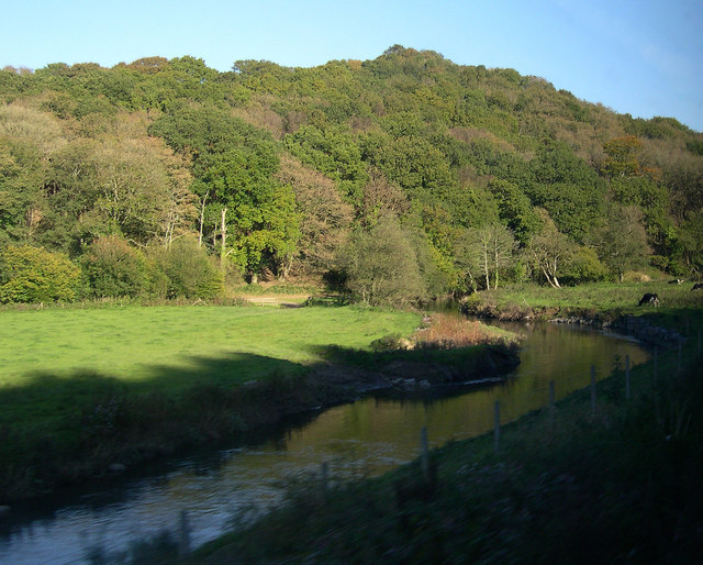
River Taf
River between Whitland and St Clears
 Map © Crown Copyright")
TIP: Click the map for more Large scale mapping
- Grid Square
- SN2216, 9 images (more nearby 🔍)
- Photographer
- John Duckfield (more nearby)
- Date Taken
- Monday, 11 October, 2010 (more nearby)
- Submitted
- Tuesday, 12 October, 2010
- Subject Location
-
OSGB36:
 SN 224 161 [100m precision]
WGS84: 51:48.9149N 4:34.6425W - Camera Location
-
OSGB36: SN 222 161
- View Direction
- EAST (about 90 degrees)