2010
TR3156 : Outbuildings on Buckland Farm
taken 14 years ago, near to Woodnesborough, Kent, England
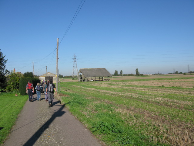
Outbuildings on Buckland Farm
During the 2010 'Beat the bounds' walk for Eastry parish (not exactly following the parish boundary but easiest route avoiding trampling crops and cultivated land).
 Map © Crown Copyright")
TIP: Click the map for more Large scale mapping
- Grid Square
- TR3156, 49 images (more nearby 🔍)
- Photographer
- Nick Smith (more nearby)
- Date Taken
- Sunday, 10 October, 2010 (more nearby)
- Submitted
- Tuesday, 12 October, 2010
- Subject Location
-
OSGB36:
 TR 318 564 [100m precision]
WGS84: 51:15.5921N 1:19.2734E - Camera Location
-
OSGB36: TR 318 563
- View Direction
- North-northwest (about 337 degrees)